PROJECTS / BANDS 2 THROUGH 7
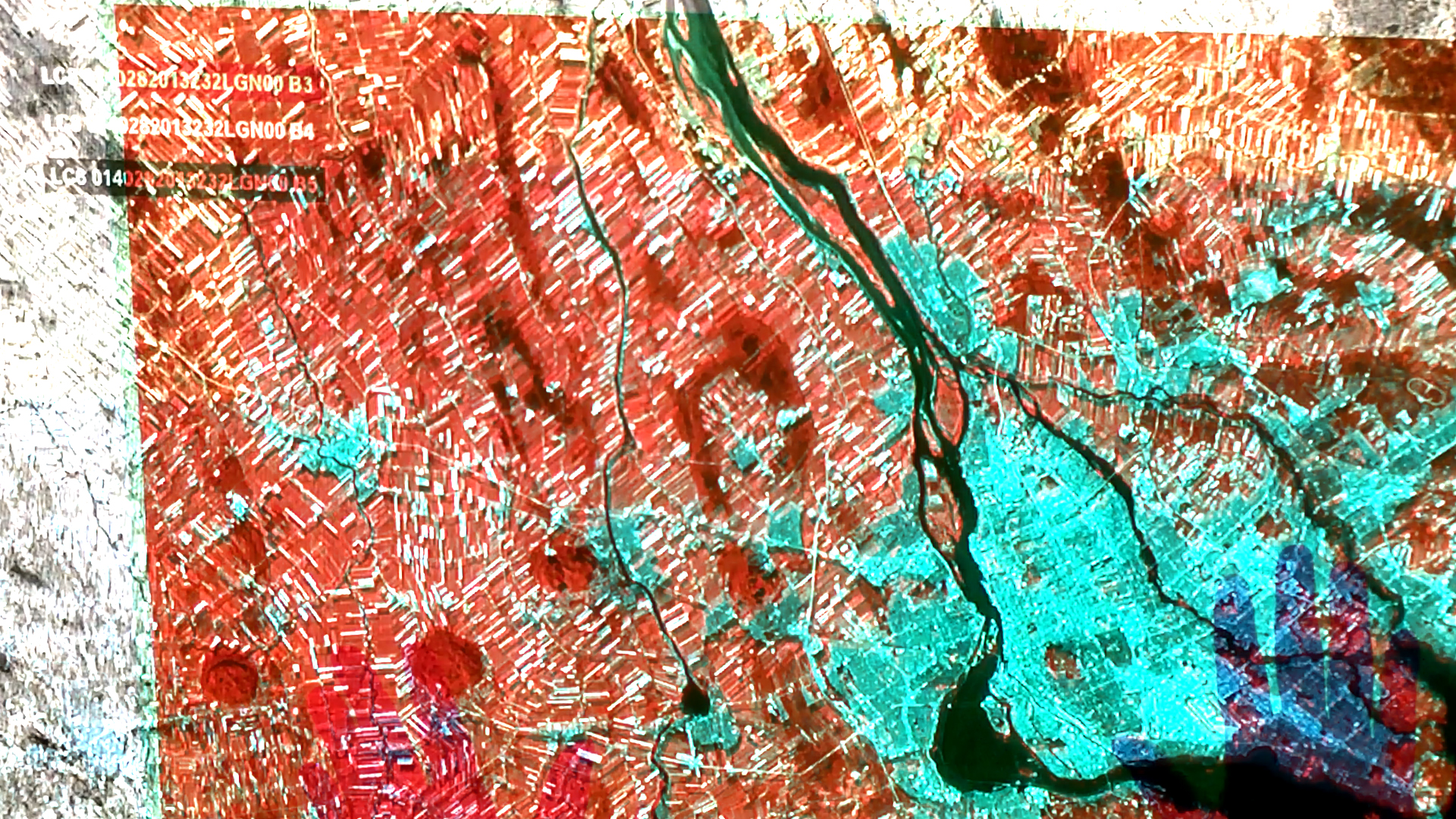
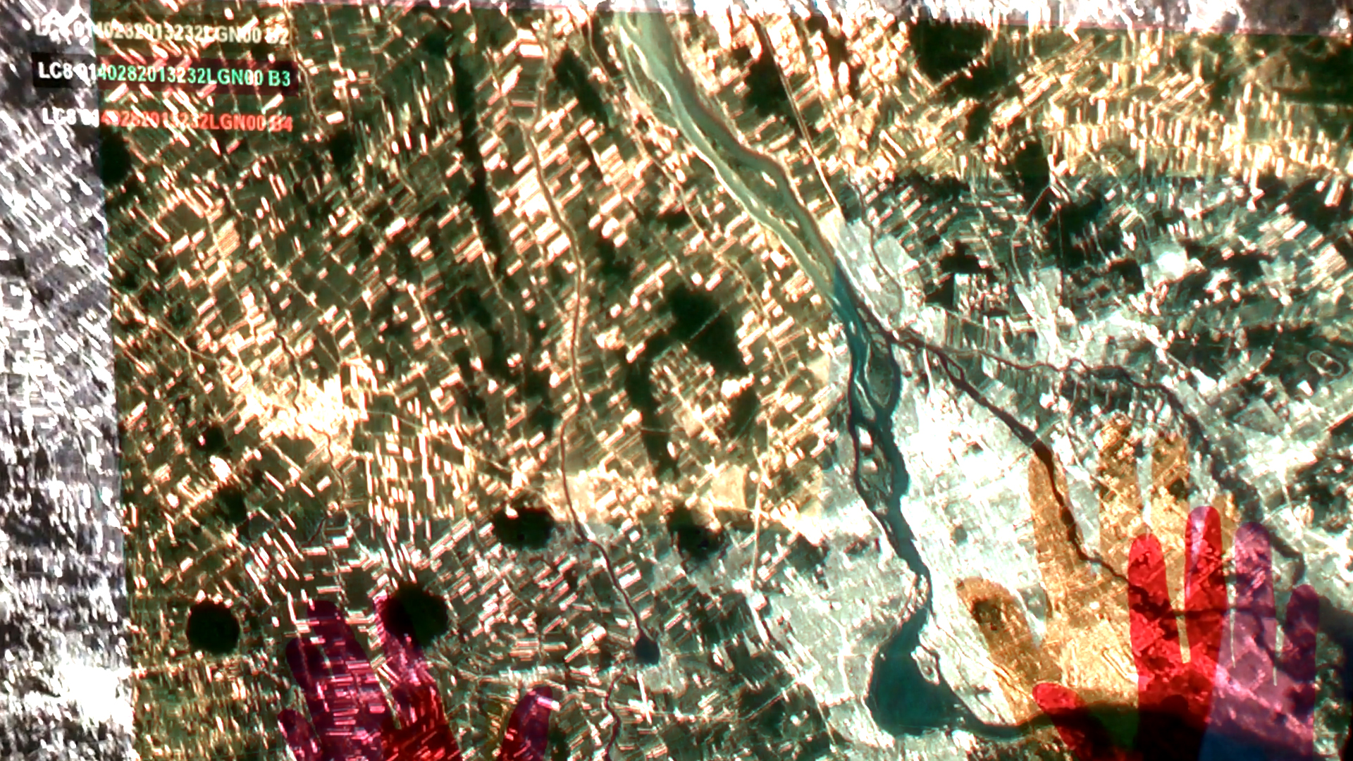
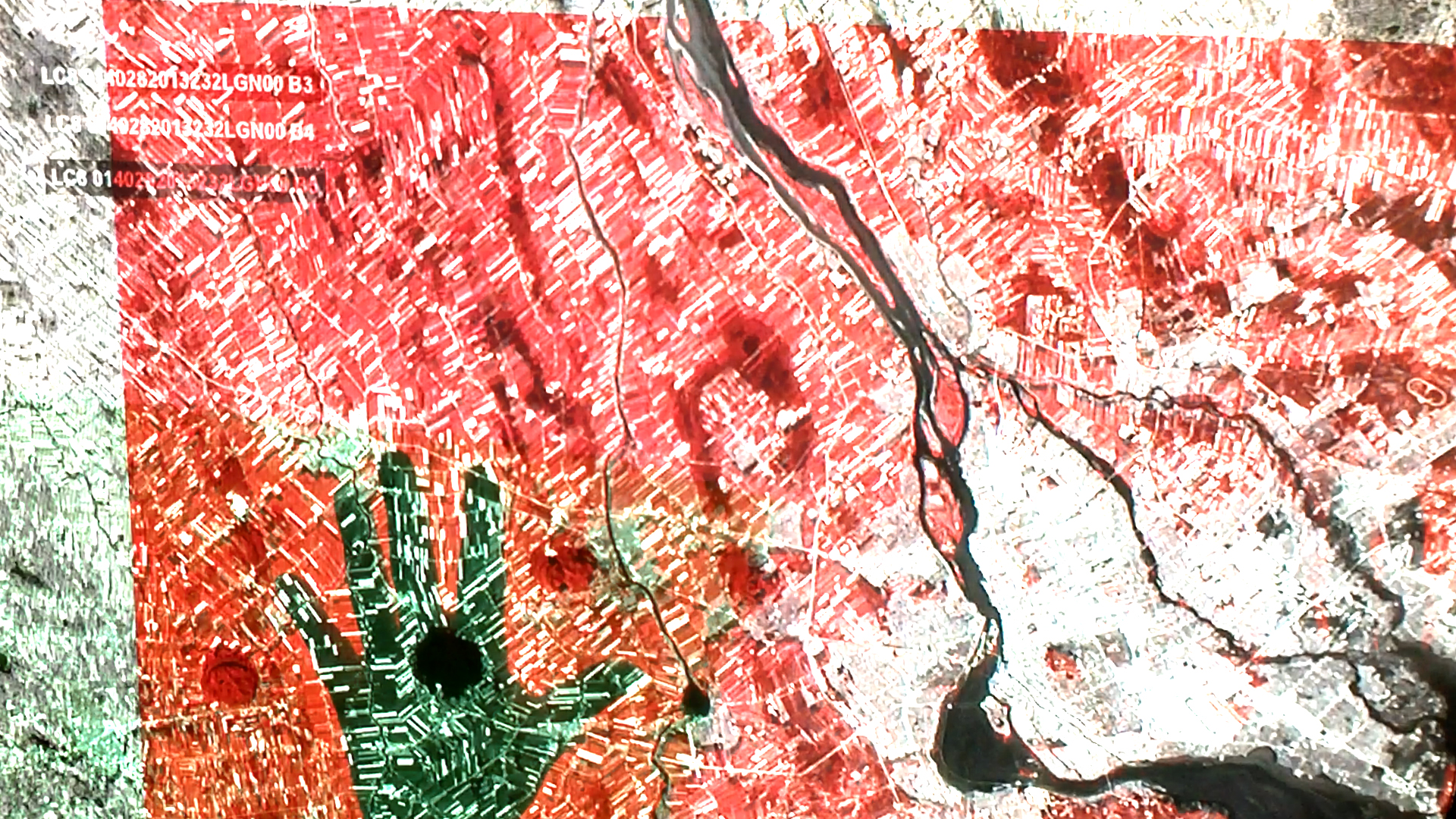
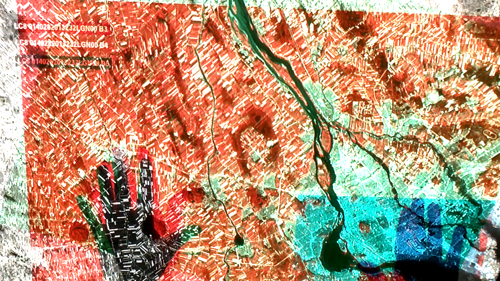
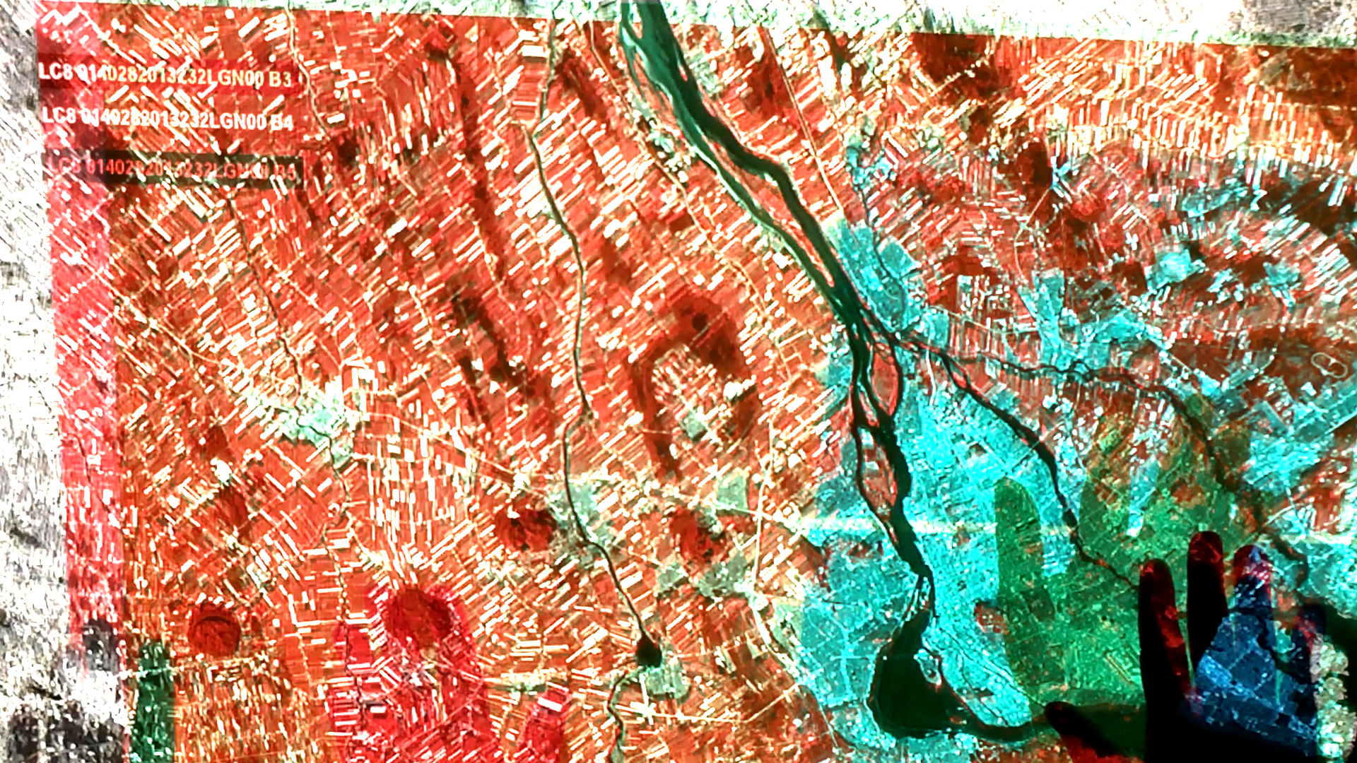
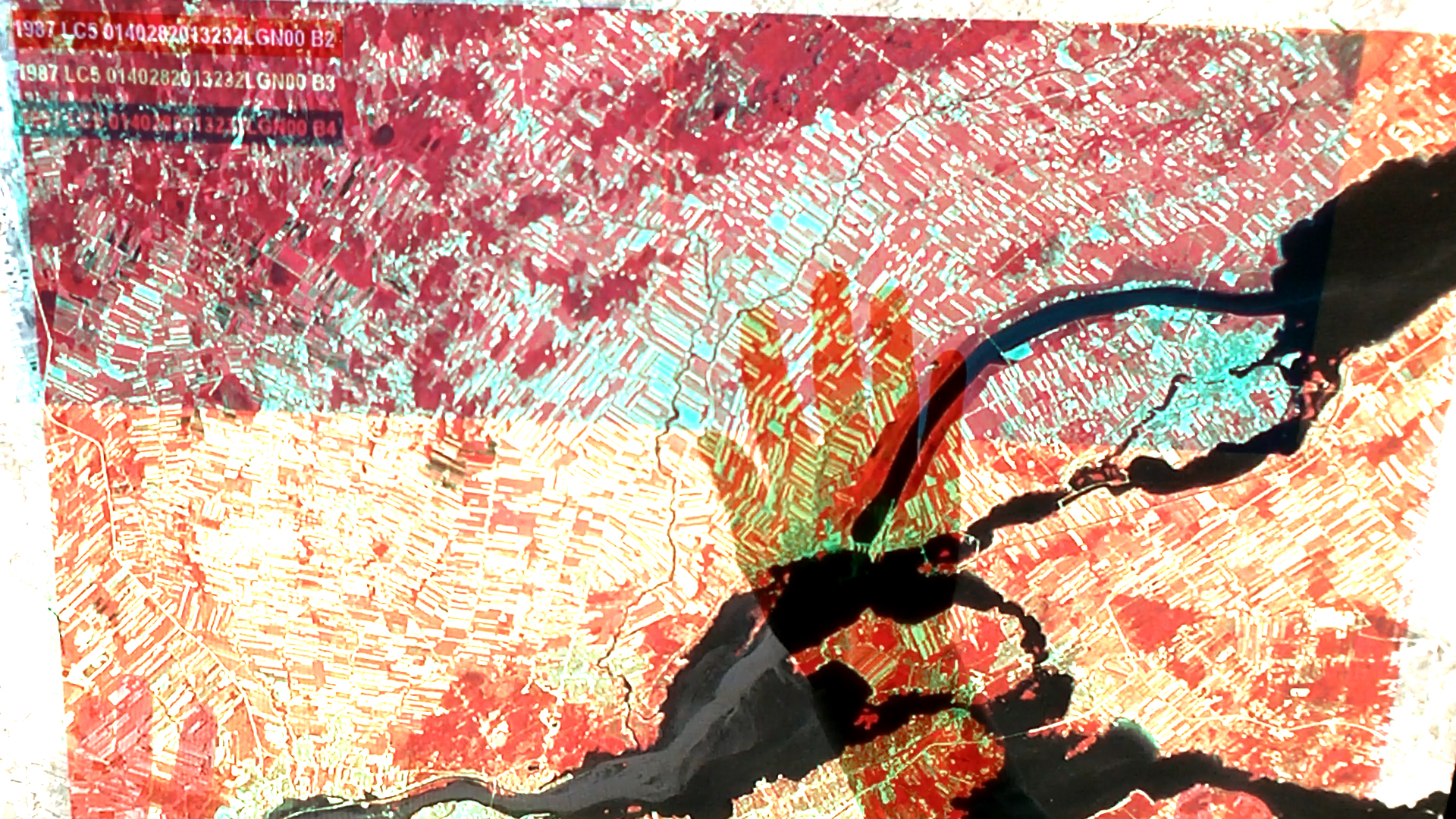
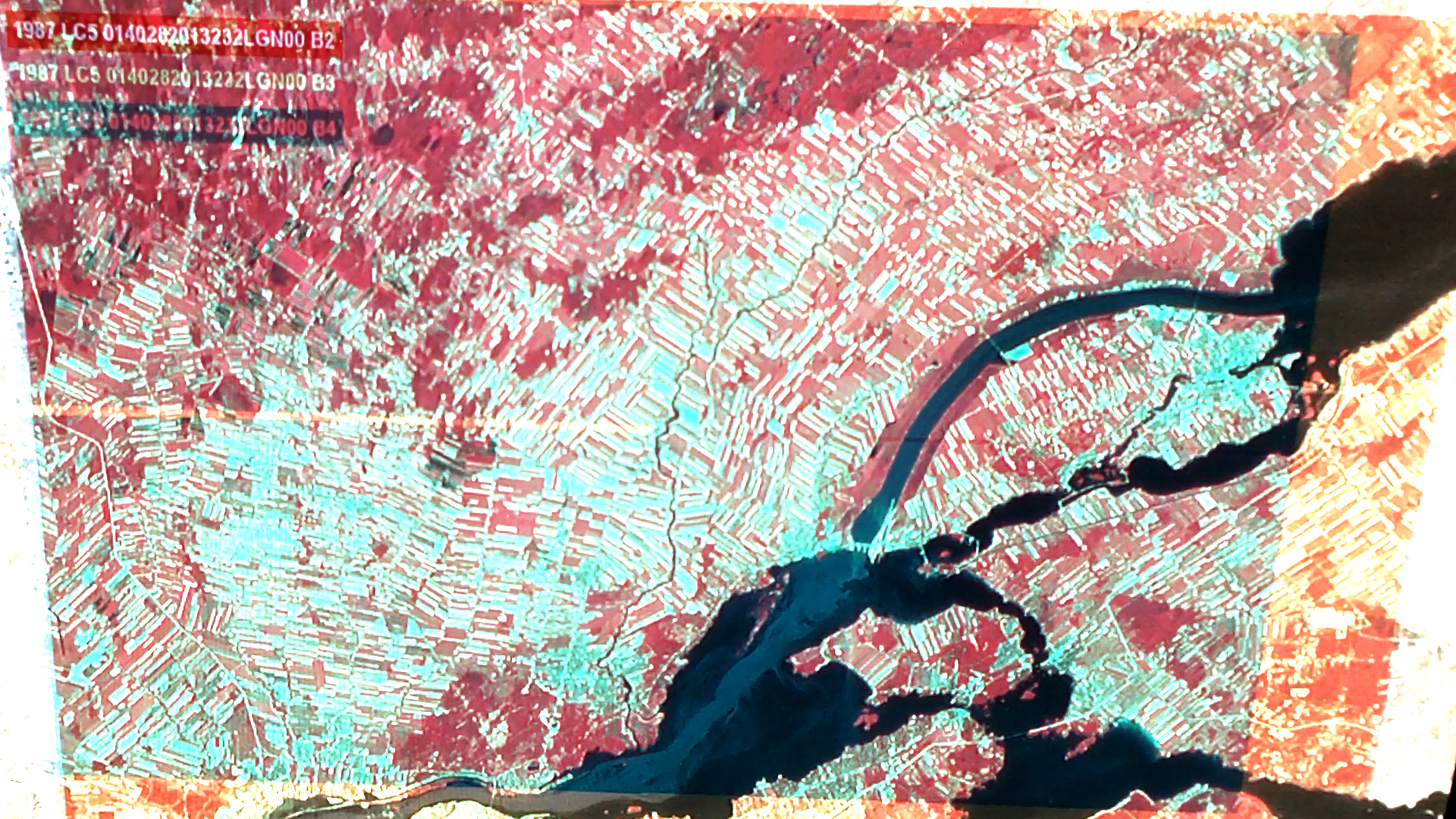
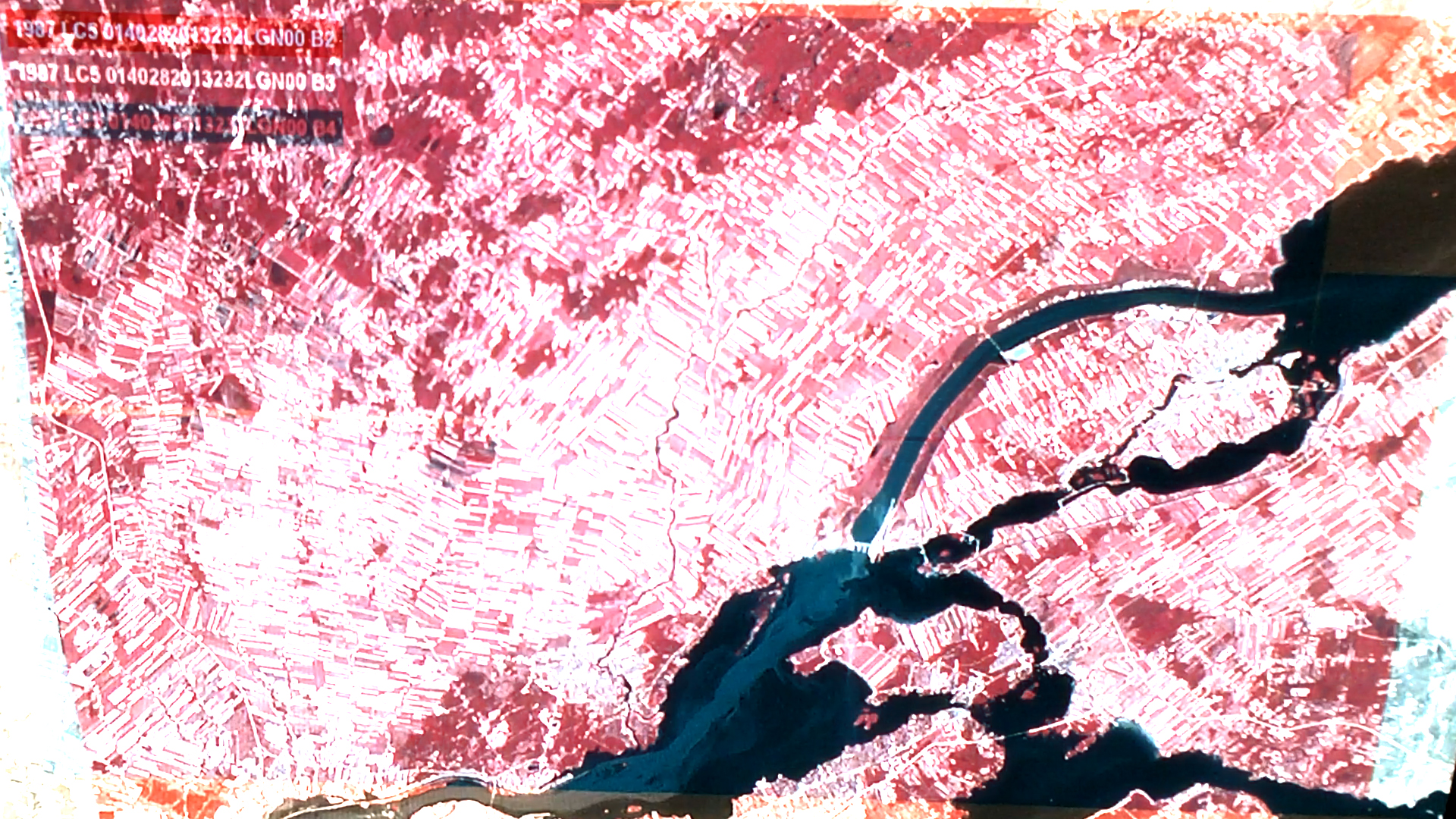
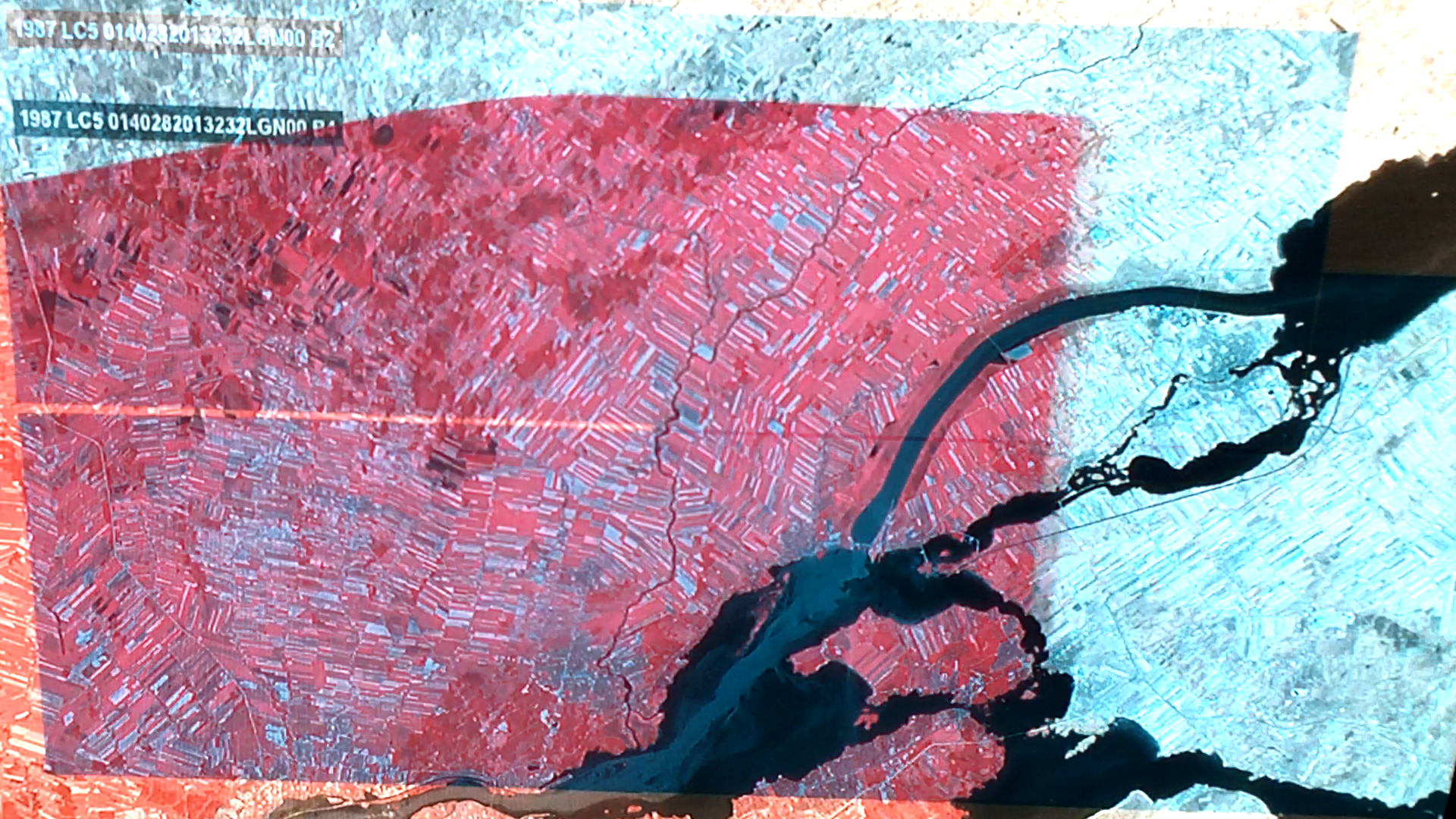
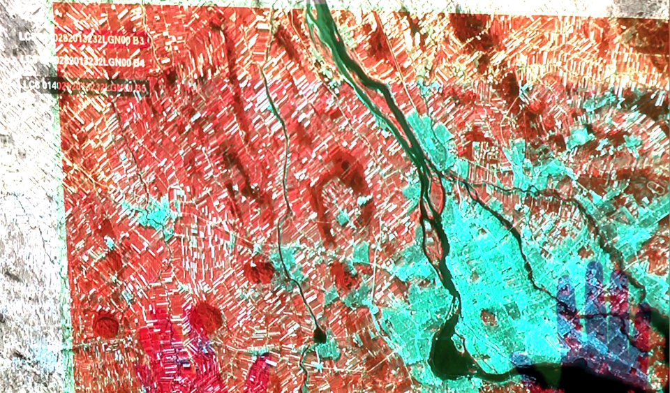
Bands 2 through 7 is an experimental film where the visualization techniques associated with satellite imagery are decomposed and rendered manually by overlaying multiple projections. In this experiment, separate films were made where five satellite spectral bands were each projected through three colored gels—red, green, and blue—arranged by hand. This resulted in fifteen (5x3) separate source films, with five options for the red channel, five options for the green channel, and five options for the blue channel. The final film consists of random combinations of Red Green and Blue source films projected on top of each other. The viewer watches as hands assemble and disassemble satellite visualizations. The resultant experience implies a connection between mid-1960s experimental projections, and the techniques of geographic visualization used by NASA during the same era. Before the visualization of certain spectral band combinations become standardized in our software, a scrappy culture of visual experimentation helped us determine what, if anything, could be seen from the satellite’s point of view.
[PROJECTS]
SCREENING
14.06.2014
Video Snack 2
Varick Sessions
Brooklyn, USA